A New Flagship for Digital Agriculture
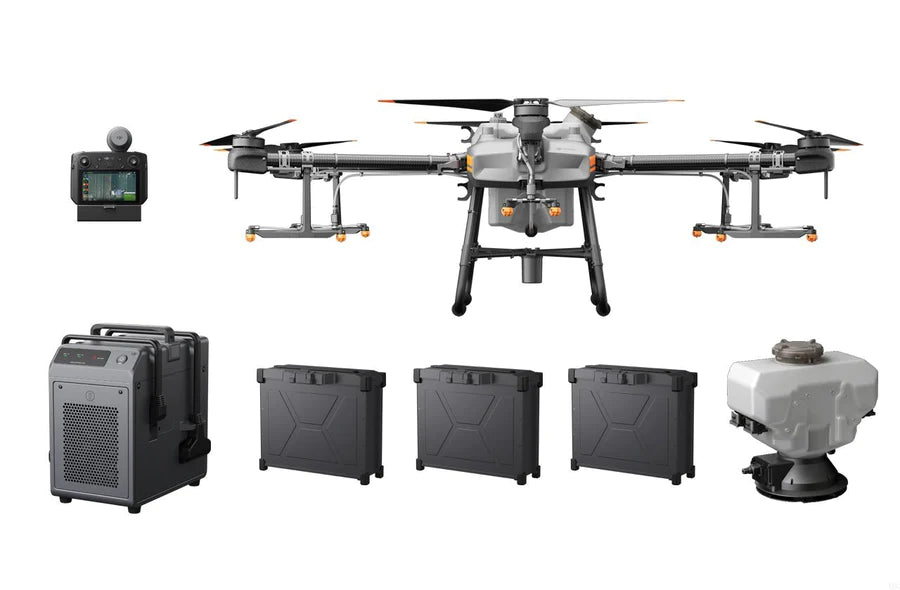
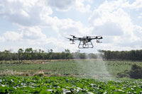
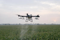
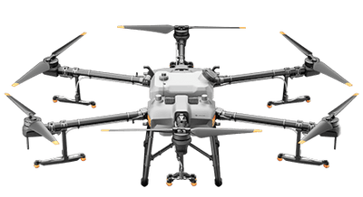
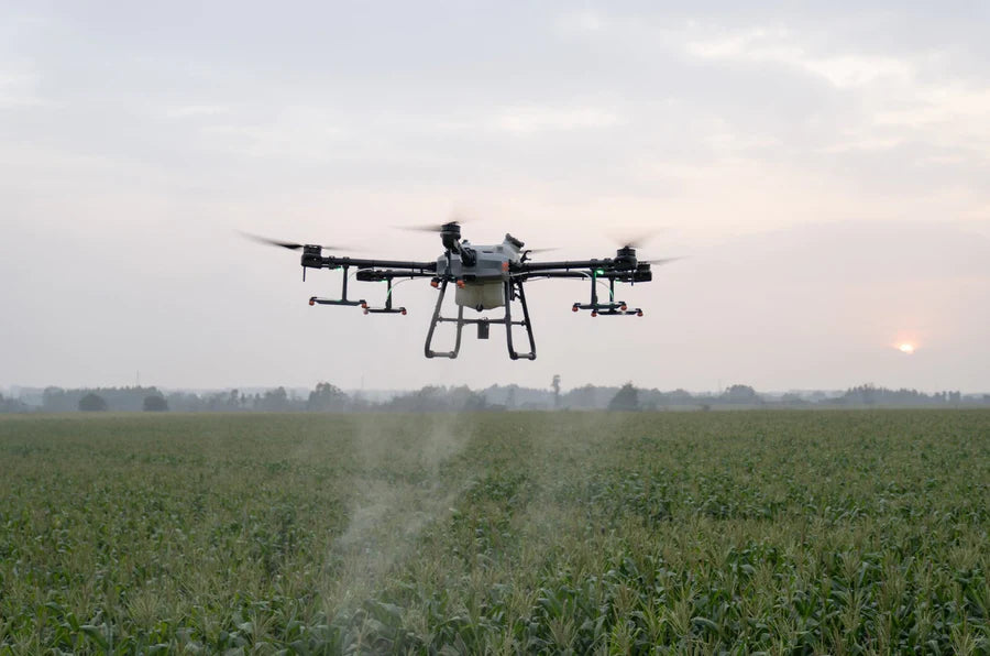
With a 30 liter spraying tank, the DJI Agras T30 takes aerial spraying efficiency to new heights. A revolutionary transforming body enables more effective spraying, especially for fruit trees. Using DJI digital agriculture solutions, the T30 helps reduce fertilizer use and increase yield with effective, data-driven best practices.
Branch-Targeting Technology for Thorough Penetration
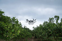
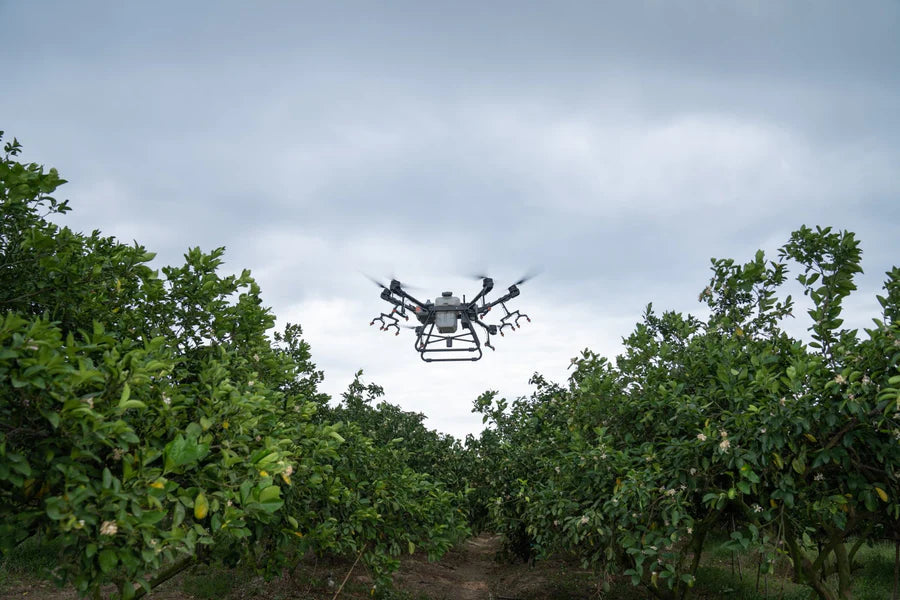
With revolutionary branch-targeting technology and adjustable arms, the Agras T30 penetrates thick canopies with oblique spraying, ensuring an even application of liquid pesticides and doubling the number of droplets. With the help of the Smart Agriculture Cloud Platform and cloud-based mapping, users can manage a 3D digital orchard, making it easy to get started with digital agriculture.
16 spray nozzles provide extensive coverage with even distribution, strong penetration, and exceptional drift prevention.
A 16-nozzle layout further improves droplet penetration.
Eight sets of solenoid valves enable independent variable frequency control and spraying in turn. The horizontally opposed six-cylinder double plunger pump design provides strong spraying power and a high flow rate of up to 8 liters per minute.
40 Acres per Hour
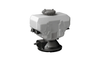
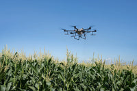
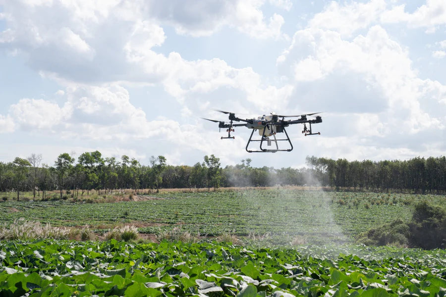
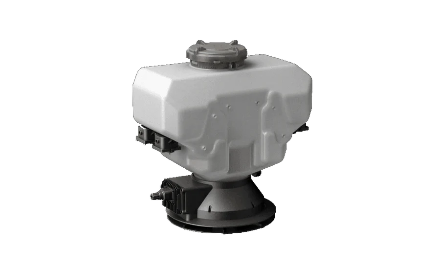
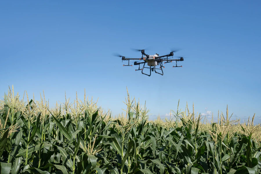
Equipped with a large 30kg spray tank, the Agras T30 has a spray width of 9 meters, and field spraying efficiency of 40 acres/hour, 33.3% more than its previous generation.
Eliminate Blind Spots with a Spherical Radar System
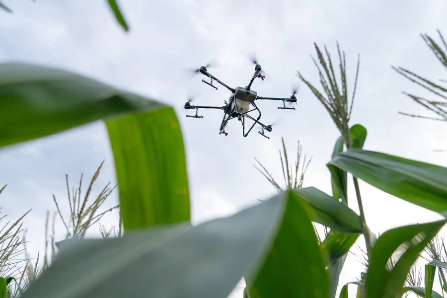
The spherical radar system perceives obstacles and surroundings in all environments, weather conditions, and viewing angles, regardless of dust and light interference. Automatic obstacle avoidance and adaptive flight functions help ensure safety during operation.
Dual FPV Cameras for Improved Awareness
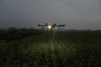
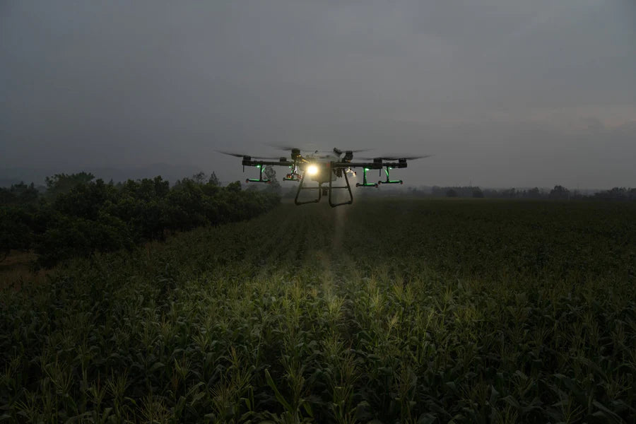
Equipped with dual FPV cameras, the Agras T30 provides clear front and rear views and lets you check flight status without needing to turn the aircraft mid-flight. And a bright searchlight doubles the aircraft's night vision capabilities, creating more nighttime operation possibilities.
Designed for Long Term Service
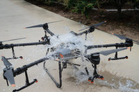
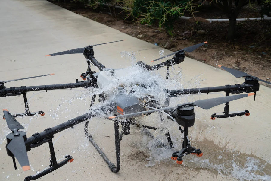
The Agras T30 control module has a fully enclosed structure for added durability. All critical components have three layers of protection and are IP67 rated. Ideal for long term use of pesticides and fertilizers, and to resist dust and corrosion.
Flexible folding for convenient transportation
The Agras T30 can be folded by 80%, making it easier to transport. This folding mechanism uses quick-snap locking, redundancies, and an in-app alert to help ensure safe operation.
Autonomous Operation with Optimal Route Planning
The new intelligent route mode independently plans the best route for each operation. A gauge indicates the remaining liquid payload amount and estimated time until refill in real-time, letting operators strike the perfect balance between payload and battery life. The aircraft also supports automatic edge sweeping for extensive spray coverage and easier aerial operation.
Ultrabright Screen Ultimate Control
An updated remote controller supports stable image transmission from up to 5 km away, 67% more than the previous generation. A bright 5.5-inch screen delivers clear visuals , even in harsh lighting conditions. For increased productivity, one remote controller can operate multiple drones at once. The standard RTK high-precision positioning module implements centimeter-level operation planning. Additional enhancements include stronger signaling, anti-interference, and operational stability. The new DJI Agriculture app provides a smooth user experience and more intuitive operation.
Cloud-Based 3D Farming: Digital Agriculture is Here
With the Smart Agriculture Cloud Platform, users can perform cloud-based mapping of orchard and farmland scenarios to generate smart flightpaths. This platform is equipped with an AI recognition system to patrol fields, identify growth, monitor disease or pests, and monitor agricultural conditions efficiently. Pairing this system with the DJI P4 Multispectral allows users to apply solutions based on specific variables according to an automatically-generated farmland prescription map.
